We studied the map very carefully to choose a trail that on one hand was pretty short and on the other seemed quite interesting to us. Mind you that the seaside trails were closed. The ones between Riomaggiore and Manarola (the so-called via dell'Amore, est time 20 min) and between Manarola and Corniglia (est time 45 min) due to landslides and the ones between Corniglia and Vernazza (est time 1h30m) and between Vernazza and Monterosso (est time 1h45m) due to poor weather conditions (the estimated times vary according to the source of data). But Cinque Terre, luckily, is not just about these four trails. Spectacular ones, that's for sure. But not the only ones. We decided to choose one of the alternatives.
Our choice - the trail between Manarola and Riomaggiore (yes, that direction). Estimated time - one hour. Seemed pretty convenient.
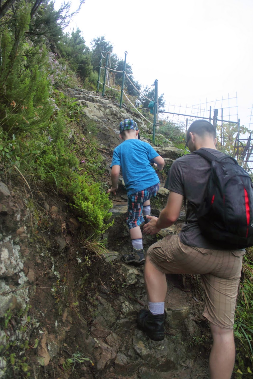
We decided to go slow. It was wet and slippery, the humidity was sooo high, we didn't want to risk too much. And we didn't want to discourage Artur with too much effort and exhaustion already on our first hike, either.
The hike was much more difficult than we anticipated. The rain, even though it was raining just a tiny little bit, but like a pain in the ass, did not help. But it stopped raining around the time we reached the top (so roughly half way through).
There were not too many people on the trail, but since it's narrow and steep, it was very difficult to pass by each other. We all had trekking shoes on and it was difficult for us to go at times. And we have seen people in flip flops on the trail! I couldn't believe my eyes. I was wondering whether the ones wearing them were more brave or stupid...
We reached the summit in ca. 30 minutes. Apart from being a water animal, Artur is, apparently, a chamois as well. In less than an hour we were in Riomaggiore. I was really proud of all of us, but of Artur the most. He was walking eagerly all the way, not complaining (too much).
When we got to Riomaggiore, we grabbed some lunch and went to our beach lunch spot to rest a bit before we had back to Corniglia to climb the 365 (or something) stairs from the train station to the village.
And after this almost an hour long hike, we were rewarded with wonderful, sunny weather. Worth all the effort :)
Trzeciego dnia w Cinque Terre, po zobaczeniu wszystkich pięciu miejscowości, byliśmy w końcu gotowi, by udać się na szlak. Nie zrozumcie mnie źle, gotowi byliśmy już pierwszego dnia. Pogoda jednak, delikatnie rzecz ujmując, do tego nie zachęcała. Tego dnia nie było zresztą wcale lepiej, ale nie chcieliśmy już tego dłużej odkładać.
Dokładnie przestudiowaliśmy mapę w poszukiwaniu szlaku, który z jednej strony będzie w miarę krótki, a z drugiej będzie dla nas interesujący. Chciałabym w tym miejscu przypomnieć, że szlaku biegnące wzdłuż brzegu morza były zamknięte. Te między Riomaggiore i Manarolą (tak zwana droga miłości, szacunkowy czas 20 min) oraz między Manarolą i Corniglią (szacunkowy czas 45 min) z powodu obsunięć ziemi, a te między Corniglią i Vernazzą (czas 1h30m) oraz między Vernazzą i Monterosso (czas 1h45m) z powodu złych warunków pogodowych. Ale Cinque Terre, na całe szczęście, to nie tylko te cztery szlaki. Spektakularne, na pewno. Ale nie jedyne. Postanowiliśmy wybrać jedną z alternatyw.
Nasz wybór - szlak łączący Manarolę z Riomaggiore (w tym właśnie kierunku). Szacunkowy czas - jedna godzina. Wydawał się być przekonujący.
Postanowiliśmy się nie spieszyć. Było mokro i ślisko, wilgotność była bardzo wysoka, nie chcieliśmy za dużo ryzykować. No i nie chcieliśmy zniechęcić Arturka już przy pierwszym przejściu z powodu zbyt dużego wysiłku i zmęczenia.
Wspinaczka była dużo trudniejsza niż przypuszczaliśmy. Kapiący deszcz, choć nie był intensywny, ale jednak upierdliwy, nie pomagał. Ale przestało padać w okolicach szczytu, czyli mniej więcej w połowie drogi.
Na szlaku nie było zbyt wielu ludzi, ale z racji tego, że jest on wąski i stromy, ciężko było się na nim mijać. My mieliśmy buty do trekkingu, a i tak było nam ciężko miejscami. A widzieliśmy na tym samym szlaku ludzi w klapkach/japonkach! Nie wierzyłam własnym oczom. Zastanawiałam się, czy te osoby są bardziej odważne czy głupie...
Do szczytu dotarliśmy w około 30 minut. Poza byciem zwierzęciem wodnym, najwidoczniej, Artur jest również kozicą. W mniej niż godzinę dotarliśmy do Riomaggiore. Byłam dumna z nas wszystkich, ale szczególnie z Arturka. Szedł chętnie, bez specjalnego narzekania.
Gdy dotarliśmy do Riomaggiore, kupiliśmy sobie coś do jedzenia i udaliśmy się na naszą obiadową plażę, by się posilić i chwilę odpocząć, zanim ruszymy w drogę powrotną do Corniglii, by wspiąć się po 365 stopniach (mniej więcej) dzielących stację kolejową od miejscowości.
I po tej blisko godzinnej wspinaczce, zostaliśmy nagrodzenie piękną, słoneczną pogodą. Wartą każdego wysiłku ;)


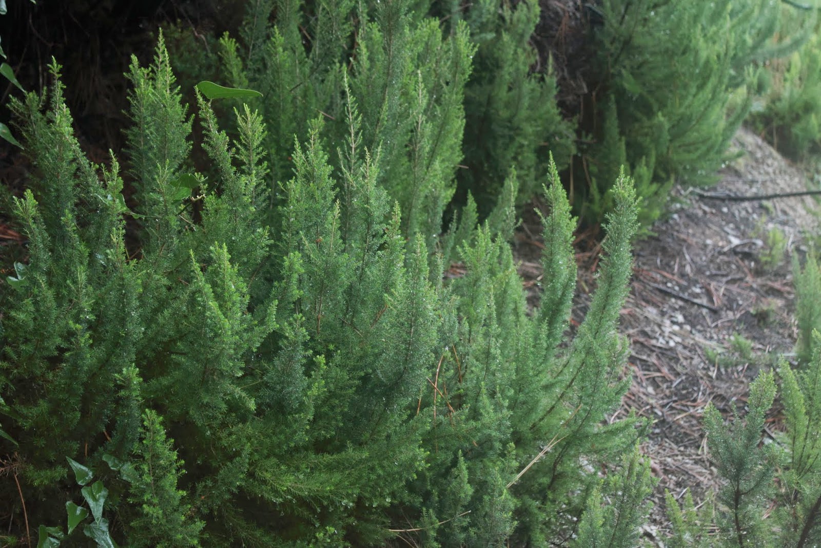
And that's what the trail looked like already outside Manarola. / A tak wyglądał szlak po wyjściu z Manaroli


The views were stunning, though / Widoki były za to powalające


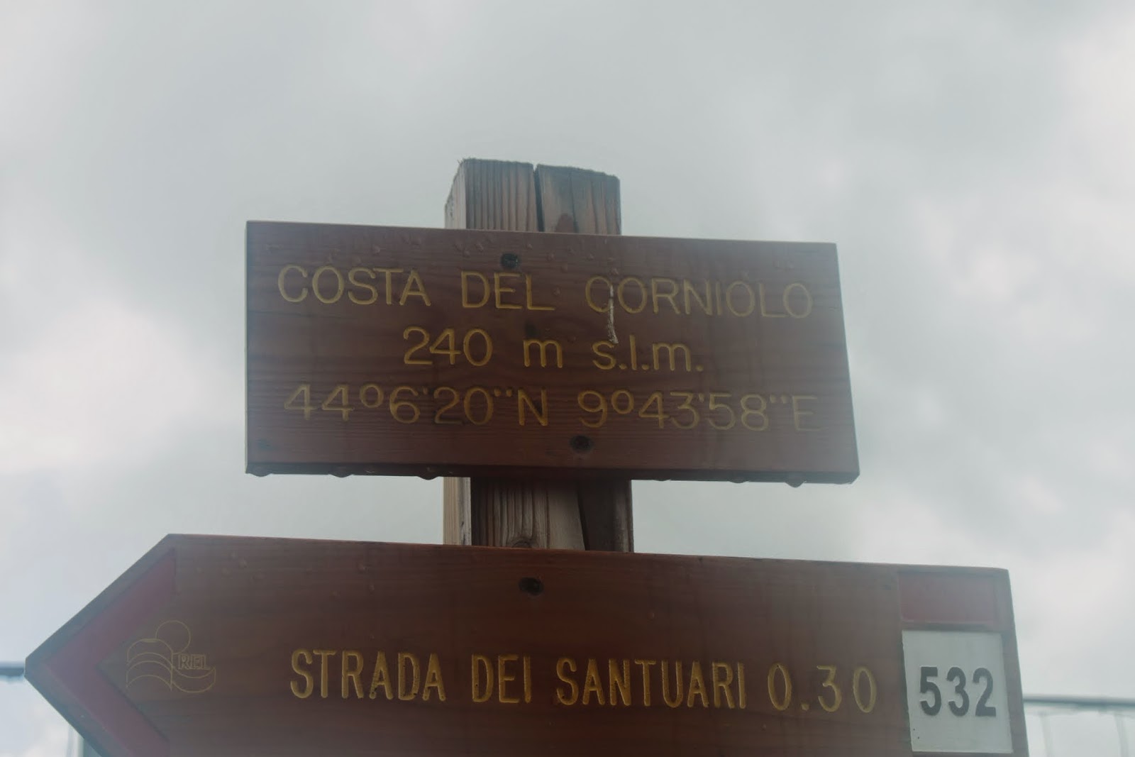
Somewhere on the top / Gdzieś na szczycie


A road leading to Riomaggiore / Droga prowadząca do Riomaggiore

Riomaggiore as seen from the trail / Riomaggiore widziane ze szlaku


This looks like a lovely place to hike. I think the steep trails might get the best of me but I'd love to give it a go. Thanks for sharing!
ReplyDeleteThe trail is demanding, that's true. But the effort is pretty short and the views are worth it. It's not that common to hike right by the seaside :) Thanks for visiting!
DeleteLooks like a gorgeous hike! I would have had trouble with the first bit - studying the map carefully lol. I'm so bad with directions and I get lost pretty easily. I either need to bring my husband or a GPS for hiking :)
ReplyDelete